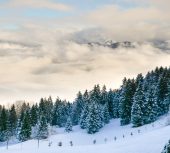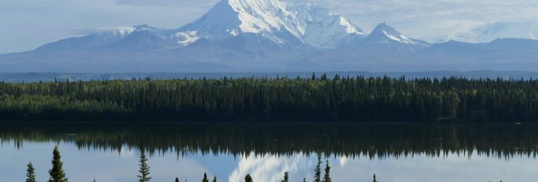
After the 2015 deluge of the Sagavanirktok River in the northern parts of Alaska, the effects were far-reaching beyond the evident road closures, including the shutdown of the Dalton Highway for multiple days. The lingering consequences on the region, rich in permafrost, were initially less noticeable. However, a new study has unveiled significant ground sinking in the aftermath of this flood event.
Post-Flood Terrain Changes
In a paper released on September 27th in the journal Permafrost and Periglacial Processes, assistant professor Simon Zwieback of the University of Alaska Fairbanks Geophysical Institute details the profound changes to the permafrost terrain following the flood. An expert in Arctic studies through satellite-based remote sensing, Zwieback highlighted that the immediate aftereffects of the flood, although apparent, did not fully capture its enduring imprint on the tundra and the underlying frozen ground.
Zwieback's findings are concerning. He remarked, "In regions affected by the floodwaters, we identified several areas of notable ground sinking, with some locations experiencing over 3 inches of subsidence in just a few years. Beyond these, several other locations showcased less intense, yet still noteworthy shifts." This decline in ground level was paralleled by a noticeable rejuvenation of the vegetation and an upsurge in the region's moisture content.
Causes and Impacts
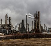
The flood's inception can be traced back to a pre-flood buildup of aufeis — layered ice resulting from the freezing of river water — which diverted the thawing river's flow from its natural channels. This misdirection of river water intensified the existing challenges between rivers and their floodplains, especially in regions marked by continuous permafrost. The presence of the Dalton Highway and the continued expansion of the Prudhoe Bay oilfield have also disrupted natural drainage patterns.
The study suggests that the flood might have spurred subsidence by raising ground temperatures. This warmth likely caused the ground ice to melt. Ground warming can originate from several sources, including increased moisture, disturbance of the protective organic layer, or sediment deposits which enable more heat absorption.
Zwieback utilized satellite data spanning from 2015 to 2019 to gauge ground deformation in the post-flood years. He found that subsidence was most pronounced in previously flooded areas and peaked in activity within the initial two years post-flood. "The subsidence we observed appears to be primarily due to the melting of ground ice," he explained. "Soils in the region have a significant amount of ice in the form of ice wedges and segregated ice."
Potential Benefits of Flooding
Despite the concerning findings, the study also emphasizes potential long-term benefits of such flooding. The floodwaters deposit sediment, fostering an increase in insulating vegetation cover. Over time, the active layer — the soil layer that undergoes freezing in winter and thawing in summer — becomes thinner. This thinning then promotes the growth of ice wedges and segregated ice, resulting in a rise in elevation and subsequently, a decrease in flood frequency.
Implications for a Changing Arctic
This groundbreaking research carries paramount importance in the context of a rapidly evolving Arctic climate. "The Arctic is becoming increasingly wetter, with the flood patterns undergoing transformation. It's essential to comprehend how riverine landscapes are reacting to these alterations," Zwieback emphasized.
With global attention riveted on climate change and its palpable impacts, Zwieback's study serves as a crucial step in understanding the nuanced interplay between natural calamities and their long-term consequences, particularly in sensitive environments like the Arctic.
©GlobalCO2.uk